Prepare your SENAVE seed production plan from the map
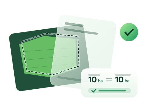
PreviewThe challenge Preparing the parcel polygons and areas requires field measurement, and errors or omissions cause rejections that threaten the sowing date.
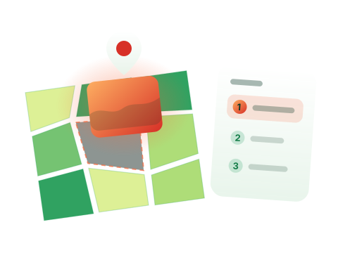
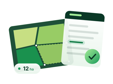
In practice Draw the field on the map, check the application data, then upload it to SENAVE's TES.
The result You can submit accurate applications without field surveys and sow as planned. * A real example from user interviews (2026).
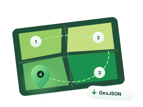
Field files for one application (4 parcels)
≈1 hour before, in QGIS ≈10 min verification only
“The parcels already come delimited — all that's left is to verify.”